Green means the beach’s most recent test results met relevant water quality standards. | |
Red means the beach’s most recent test results failed to meet water quality standards. | |
Grey means water quality information for the beach is too old (more than 7 days old) to be considered current, or that info is unavailable, or unreliable. |
When swimming season is over or when a beach's water quality data has not been updated frequently enough (weekly) it goes into historical status. This means that rather than displaying current data it displays the beach's average water quality for that year.
Green means the beach passed water quality tests 95% of the time or more. | |
Yellow means the beach passed water quality tests 60-95% of the time. | |
Red means the beach failed water quality tests 40% of the time or more. |
We may manually set the status for a specific beach if we have concerns about the sampling protocol, if there is an emergency, if monitoring practices don't exist or have recently changed, or other reasons that render this site "special."
This means that this site has been issued a Blue Flag status for the current swimming season. This status does not indicate current water quality. | |
Red means the water at the site has water quality issues or there is an emergency. | |
Grey means there is no current water quality information, the beach is under construction, there has been an event that has rendered water quality information unreliable or unavailable. |
See the beach description for more information regarding their special status. |
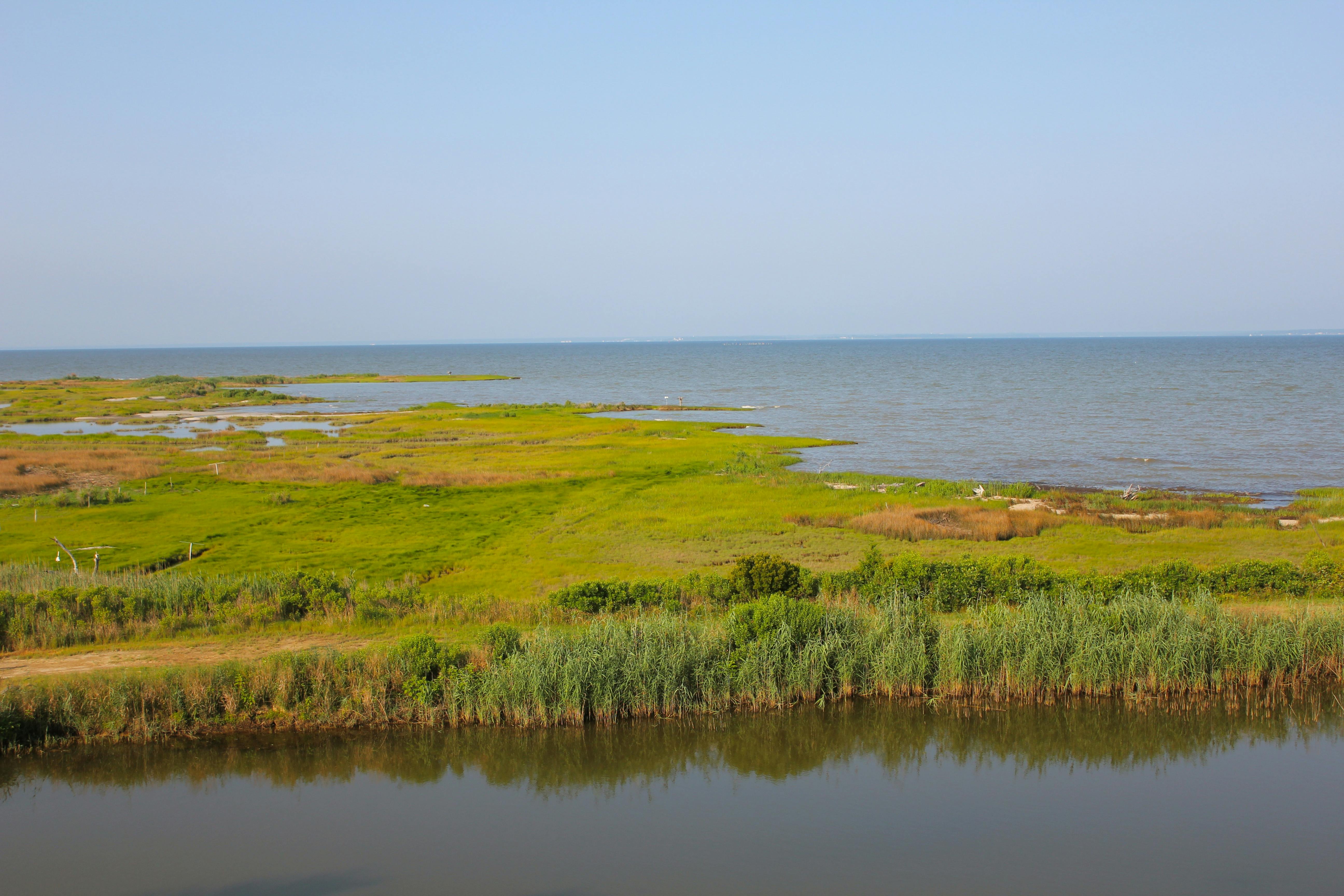
ShoreRivers is an affiliate with the Swim Guide since 2017 and monitors more than 250 sites within the Choptank, Chester, Miles, Wye and Sassafras River Watersheds, including over 20 sites for enterococci bacteria. ShoreRivers’ mission is to protect and restore Eastern Shore waterways through science-based advocacy, restoration, and education. Being part of the Swim Guide program allows ShoreRivers to share their recreational water quality data for many communities surrounding our local watersheds. To learn more about this amazing organization click here.
Learn more about each ShoreRivers Riverkeeper by clicking on their photo above!
phone: +1 410 810 7556
email: info@shorerivers.org
website: shorerivers.org
facebook: @shorerivers
instagram: @shoreriversorg
© SWIM DRINK FISH CANADA, 2011 - 2022
Swim Guide is a free service that helps to connect millions of people just like you with local beaches and swimming holes. We depend on financial support from individuals and organizations to restore and protect access to water for all people.
This year, donors have helped to fund urgent monitoring of beach closures during the COVID-19 pandemic, expand our support for volunteer water quality monitoring, and create groundbreaking data sharing resources for scientists. Join the Swim Guide community today.