Current Water Quality
No data available
This status is based on the latest sample. Friends of the Cheat updates the status of this beach as soon as test results become available.
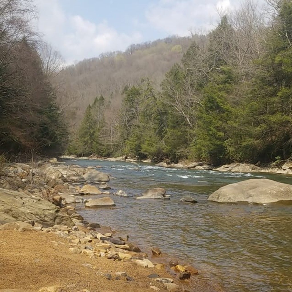
Lower Big Sandy at Rockville is sampled Monthly from January 1st to January 1st.
About Lower Big Sandy at Rockville
Current Weather
Source Information
Friends of the Cheat staff, interns, and volunteers monitor water quality in this region. Friends of the Cheat monitors river recreation sites of the Cheat River. Sites are monitored for E. coli and total coliform as well as temperature, pH, and conductivity. Bacteriological samples are analyzed using the IDEXX Quanti-Tray/2000 method Samples are collected throughout the year. Water is monitored twice per month during peak river recreation months (April – September) and once per month during the off-season (October – March). Samples are generally collected on Wednesdays and results are posted on Fridays. Advisory issued when E. coli concentration is greater than 410 CFU/100 mL. A beach is Green when E.coli is less than 410 CFU/100 mL. A beach is Red when E.coli is equal to or more than 410 CFU/100 mL
Beaches Near This One
SEE All