Current Water Quality
No data available
This status is based on the latest sample. Pearl Riverkeeper updates the status of this beach as soon as test results become available.
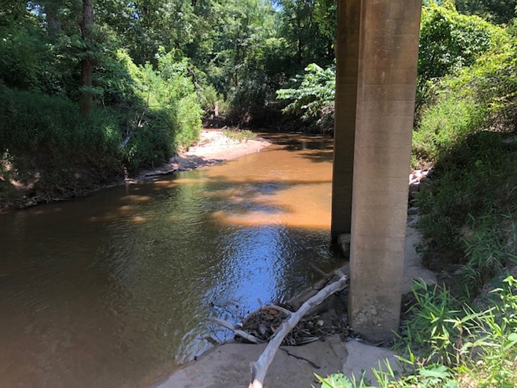
Sellers Creek : Hwy 149 is sampled Weekly from June 1st to September 1st.
About Sellers Creek : Hwy 149
Source Information
Pearl Riverkeeper is a member of the MS State Extension MS Water Stewards program. Our water quality monitoring is conducted using EPA-approved protocols developed by Alabama Water Watch. Weekly sampling season starts in June and ends Labor Day Weekend. Water at all sites is sampled for E. coli, total coliform and temperature. Pearl Riverkeeper uses the MS State Extension MS Water Stewards guidance for interpreting bacteriological data. A recreation site is marked Green when single-sample results (average of 3 triplicate cultures) are under 600 E.coli/100 mL water. A beach is marked Red when the results are equal to or above 600 E.coli/100 mL water. A beach is marked Grey when there are no current results or there is no available information. Disclaimer: The information contained on this website is for informational purposes only. All sites monitored are natural waterbodies and contaminants are present from a wide variety of sources. Local conditions fluctuate, sometimes rapidly, especially after rainfall events. The results displayed above are only representative of the exact time, date and location at which the sample was taken and do not represent the water quality between sampling events or at other locations nearby on the river. Users of this data should not assume that a “low” E. coli level means that it is necessarily safe or risk-free to make contact with the water. E. coli is not the only contaminant of concern for recreational users, and is used merely as an indicator of potential fecal contamination. Pearl Riverkeeper., their employees, and agents can provide no guaranty of water safety and, as such, the user assumes all risks associated with the use of this data and swimming in the Pearl River Basin. SWIM AT YOUR OWN RISK!
Beaches Near This One
SEE All