Current Water Quality
See Source Info tab to understand what these results mean
Meets water quality standards
This status is based on the latest sample, taken on July 21st, 2026 Swim Drink Fish - Vancouver (Formerly Fraser Riverkeeper) updates the status of this beach as soon as test results become available. These results were posted to Swim Guide on July 22nd, 2026 at 15:57.
Wreck Beach Foreshore West (Acadia Beach) is sampled Weekly from May 10th to October 10th.
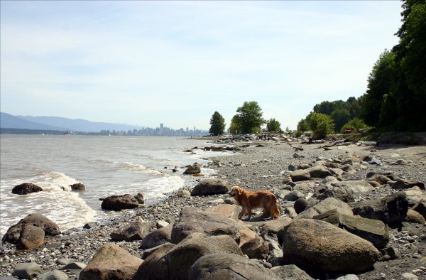
About Wreck Beach Foreshore West (Acadia Beach)
Current Weather
Source Information
Vancouver Coastal Health (VCH) monitors the water quality at 114 sites across 41 Vancouver-area beaches. Sampling is conducted during the height of swim season (May – September) and for the annual Polar Bear Swim (December). The presence of E. coli is used as a fecal indicator to determine if beaches require a not suitable for swimming advisory. E. coli is an effective indicator to determine beach water quality and meets the recommendations outlined in Health Canada’s Guidelines for Canadian Recreational Water Quality – Indicators of Fecal Contamination 2023 (GCRWQ 2023). VCH has updated its beach water quality monitoring program to reflect the changes in the updated GCRWQ 2023. The key change is if a single sample exceeds 235 E.coli/100 mL (as opposed to 400 E.coli/100 mL prior to 2023), a Beach Action Value Investigation, and resampling will be triggered. These investigations do not imply the beach site poses a health risk to the public. It indicates a likelihood of a local contamination event which needs further investigation to identify the source. Beach management, sampling agencies, and VCH collaborate in this investigation. The importance is in understanding the microbial source of contamination – i.e.. human, other mammals like dogs or from birds etc., as well as the cause – significant rainfall, sewage discharges etc. The ultimate goal is to characterize an affected beach location to enable the prediction and mitigation of future events. Should the results exceed the guidelines or in the event of a known hazard or spill, the Medical Health Officer will make an assessment of the risk to human health. If there is a risk to human health, a warning sign will be posted at the beach stating “Beach advisories - Not suitable for swimming.” Results are communicated on the Vancouver Coastal Health website (https://www.vch.ca/en/service/public-beach-water-quality#beach_notifications). Data is shared on Swim Guide according to these results, as soon as they become available. Recreational water quality for a beach is determined by E. coli counts from the Greater Vancouver Regional District Water Quality Laboratory. A beach is marked Green when geometric mean results are under 200 E.coli/100 mL and single sample results are below 400 E.coli/100mL. A beach is marked Red when the geometric mean results are equal to or above 200 E.coli/100 mL water or single sample results are above 400 E.coli/100 mL A beach is marked Grey when there are no current results or there is no available information When a single sample, or a geomean exceeds the Beach Action Value Threshold of 235 E.coli CFU/100mL, a Beach Action Value Investigation may be issued, in which case, a banner will be added to the Swim Guide Page outlining an investigation is underway. Swim Guide Updates are based off of a combination of VCH Table Advisories, Single Samples, Geomean Calculations, and Map postings found on the VCH Website here (https://www.vch.ca/en/service/public-beach-water-quality#beach_notifications)
Beaches Near This One
SEE All