Historical Water Quality
See Source Info tab to understand what these results mean
Passed water quality tests 60-95% of the time
This status is based on the latest sample, taken on July 13th, 2026 Swim Drink Fish - Vancouver (Formerly Fraser Riverkeeper) updates the status of this beach as soon as test results become available. These results were posted to Swim Guide on July 16th, 2026 at 17:10.
Snug Cove Beach is sampled Weekly from May 1st to September 10th.
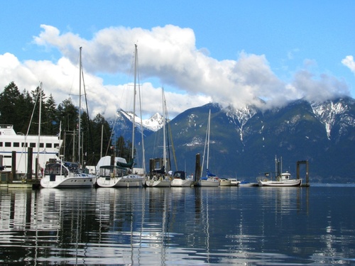
About Snug Cove Beach
Current Weather
Source Information
Vancouver Coastal Health Authority monitors the water quality at 5 Bowen Island beaches. Sampling is conducted during the height of swim season (May – September). VCH follows the Canadian Recreational Water Guidelines. Prior to 2025, recreational water was considered safe if the geometric mean of the most recent 5 samples was under 200 E.coli/100mL or a single sample limit of under 400 E.coli/100mL. In 2025, the city of Vancouver Adopted Beach Action Values therefore when samples from a particular beach area exceed 235 E.coli bacteria per 100 millilitres of sea water sample or in the event of a known hazard or spill, an assessment will be made to determine the possible health risks and the most effective approach to protecting the health of recreational water users. Should the results exceed the guidelines or in the event of a known hazard or spill, the Medical Health Officer will make an assessment of the risk to human health. If there is a risk to human health, a warning sign will be posted at the beach stating “This Water is Contaminated and Unsafe for Swimming.” Results are communicated on the Vancouver Coastal Health Beach Samples Results website. A beach is marked Green when geometric mean results are under 200 E.coli/100 mL and single sample results are below 400 E.coli/100mL. A beach is marked Red when the geometric mean results are equal to or above 200 E.coli/100 mL water or single sample results are above 400 E.coli/100 mL. A beach is marked Grey when there are no current results or there is no available information.
Beaches Near This One
SEE All