Current Water Quality
See Source Info tab to understand what these results mean
Meets water quality standards
This status is based on the latest sample, taken on July 16th, 2026 Chattahoochee Riverkeeper updates the status of this beach as soon as test results become available. These results were posted to Swim Guide on July 17th, 2026 at 11:33.
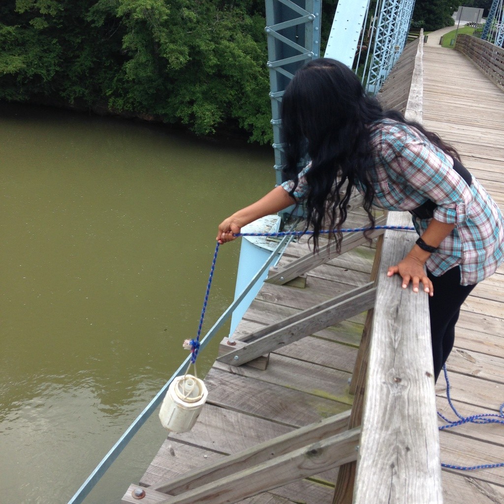
Chattahoochee River at West Paces Ferry Road is sampled Weekly from January 1st to December 31st.
About Chattahoochee River at West Paces Ferry Road
Current Weather
Source Information
Samples are collected weekly and analyzed from three locations in a partnership between the National Park Service, United States Geological Survey and Chattahoochee Riverkeeper. When new sample data is available, Chattahoochee Riverkeeper updates SWIM Guide. A test does not meet water quality standards when a presumptive E. coli level has a EPA Beach Action Value higher than 235 MPN/100ml. Real-time advisories based on turbidity levels can be viewed by following this link: https://ga.water.usgs.gov/bacteria/
Beaches Near This One
SEE All