Historical Water Quality
See Source Info tab to understand what these results mean
Passed water quality tests 60-95% of the time
This status is based on the latest sample, taken on July 3rd, 2026 Snake River Waterkeeper updates the status of this beach as soon as test results become available. These results were posted to Swim Guide on July 3rd, 2026 at 12:38.
Monitoring Frequency:
Big Wood River above Magic Reservoir is sampled Bi-Weekly from May 25th to September 6th.
Water Quality Graph:
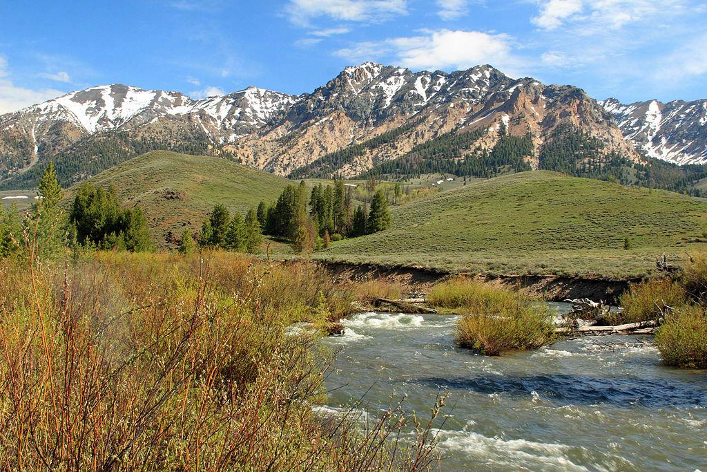
About Big Wood River above Magic Reservoir
The Big Wood River is a 137-mile-long (220 km) river in central Idaho. It is a tributary of the Malad River, which in turn is tributary to the Snake River. From its source in the Sawtooth Range near Galena Summit in the Sawtooth National Recreation Area, the Big Wood River generally flows south, between the Boulder Mountains to the north, the Pioneer Mountains to the east, and the Smoky Mountains to the west. Highway 75 accompanies the river southward from Galena Summit toward Shoshone. Below Magic Dam, the Big Wood River enters Lincoln County, passing by many lava beds and irrigation canals before entering Gooding County. Just west of Gooding, the Big Wood River joins the Little Wood River to form the Malad River. Variant names of the Big Wood River, according to the USGS, include Malad River, Malade River, Wood River, Poisonous Beaver River, and Sickley River.
Facilities: Rest area is 3.2 miles away, Lifeguard not available.
Current Weather
31°C
Clear
Source Information
TBD
Beaches Near This One
SEE All