Current Water Quality
See Source Info tab to understand what these results mean
Failed to meet water quality standards
This status is based on the latest sample, taken on June 30th, 2026 Snake River Waterkeeper updates the status of this beach as soon as test results become available. These results were posted to Swim Guide on June 30th, 2026 at 22:24.
Malheur River is sampled Weekly from May 25th to September 6th.
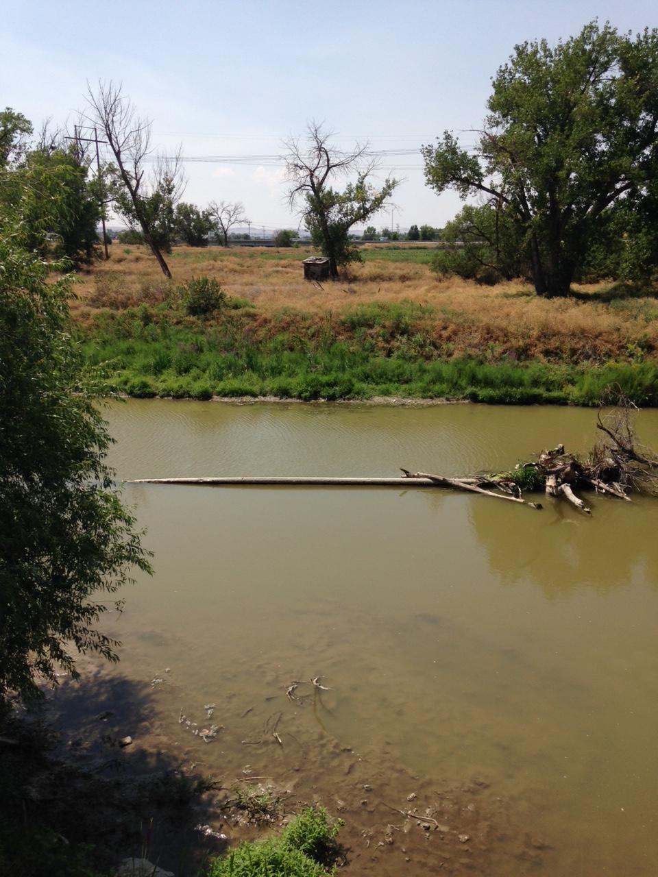
About Malheur River
Current Weather
Source Information
There is currently very limited water quality monitoring of Idaho's inland swim sites. The federal Beach Act does not cover freshwater or riverine beaches, and states in the Basin do not monitor Snake River swimming beaches or recreational access sites. As part of its Water Quality Program, Snake River Waterkeeper monitors water quality at more than 100 sites on the Snake River and its tributaries for temperature, dissolved oxygen, pH, salinity/conductivity/total dissolved solids, ammonia, and nitrates. Data are collected at sample sites June-October and assigned safety ratings based on comparison to EPA's Recreational Water Quality Criteria for Human Health: pH: 5 – 9 µg/L Salinity/Conductivity/Total Dissolved Solids: 500 mg/L Nitrates: 10 mg/L A site is marked Green when single sample results meet all Human Health Criteria. A site is marked Red when the results are equal to or above Human Health Criteria. A site is marked Grey when there are no current results or no available information. Sites found to exceed EPA's Aquatic Health Criteria are noted in site descriptions. While criteria measured are useful indicators of contamination, there are many other potential sources of pollution that are not reflected in our Swim Guide, including E.coli and other bacteria, heavy metals, pharmaceuticals, fertilizers, and pesticides that harm aquatic life. Download the free app for smartphone and learn about Swim Guide 3.0 at www.theswimguide.org. To learn more about our efforts to protect and restore the Snake River's water quality, visit www.snakeriverwaterkeeper.org.
Beaches Near This One
SEE All