Special Water Quality
Failed to meet water quality standards
This status is based on the latest sample. Pontchartrain Conservancy updates the status of this beach as soon as test results become available.
Pontchartrain Beach is sampled Weekly from January 1st to December 31st.
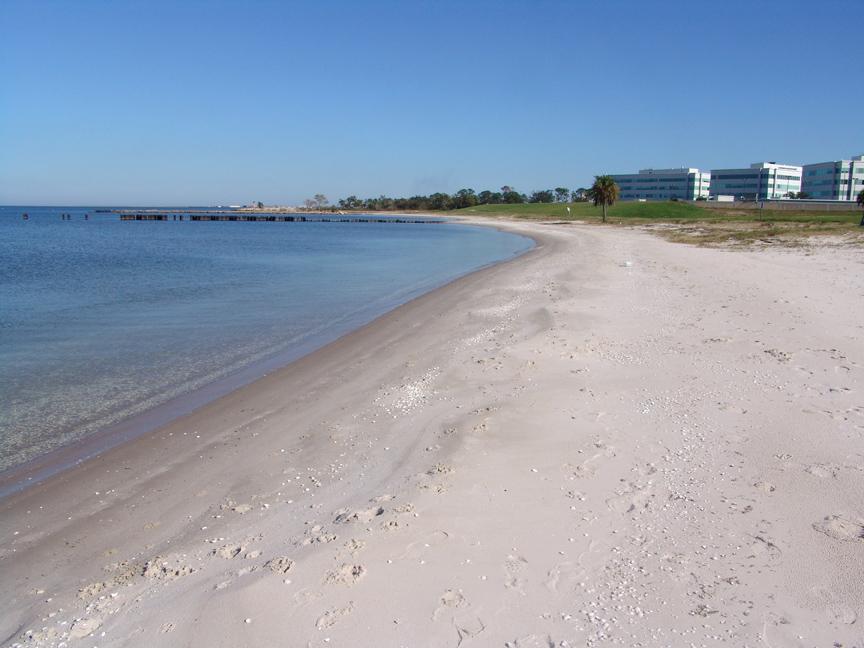
About Pontchartrain Beach
Source Information
The Pontchartrain Conservancy (PC) monitors water quality at sites in the Lake Pontchartrain region. Sampling is conducted year-round, and samples are usually collected on Tuesdays and reported to Swimguide on Fridays. In the event of severe weather or holiday, samples may be collected on Wednesdays. Samples are not collected for the week of Christmas nor Mardi Gras. Water samples are analyzed at all sites for Fecal coliform and Enterococcus. Water physiochemical parameters are also collected as field measurements. These include: Dissolved Oxygen (DO), water temperature, conductivity, and salinity (parts per thousand). Full weekly results can be viewed at: https://scienceforourcoast.org/pc-programs/waterquality/weekly-data-report/ A location will be marked Green when the average Enterococci in sample does not exceed 35 colonies/100 mL and no more than 10 percent of the individual samples collected shall exceed 130 enterococci colonies/100 mL; AND no more than 25 percent of the total samples collected exceed a fecal coliform density of 2,000/100 mL A location will be marked Red when the average Enterococci in a sample exceeds 35 colonies/100 mL or 10 percent of the individual samples in the data set exceed 130 enterococci colonies/100 mL; AND if the location exceeds a fecal coliform density of 2,000/100 mL. A location is marked Grey when there are no current results or there is no available information.
Beaches Near This One
SEE All