Current Water Quality
See Source Info tab to understand what these results mean
No data available
This status is based on the latest sample, taken on June 21st, 2026 Puget Soundkeeper Alliance updates the status of this beach as soon as test results become available. These results were posted to Swim Guide on June 21st, 2026 at 23:58.
Belfair State Park is sampled Weekly from May 31st to September 1st.
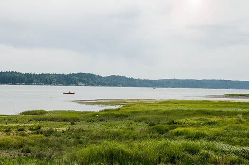
About Belfair State Park
Current Weather
Source Information
The Washington Department of Ecology BEACH program tests water quality at salt water swimming beaches every week from Memorial Day to Labor Day for enterococcus bacteria. During the sampling period, Puget Soundkeeper regularly updates the Swim Guide to reflect the most current information. The saltwater swimming criteria are in two parts: The geometric mean* should not exceed 30 enterococci/100 mL, based on results from a minimum of five weekly samples and a maximum of 12 weekly samples. The statistical threshold value* should not exceed 110 enterococci/100 mL, based on results from a minimum of five weekly samples and a maximum of 12 weekly samples. If either of these criteria is exceeded, a beach advisory should be issued at the beach. To protect swimmers' health, BEACH also uses a Beach Action Value. If enterococcus levels exceed 104 enterococci/100 mL, a beach advisory is issued. A beach is marked green if it meets all of the above criteria. A beach is marked red if it exceeds any one of the above criteria. A beach is marked grey if no current data is available. Sample results are also shared on the Department of Ecology BEACH program website: https://fortress.wa.gov/ecy/coastalatlas/Tools/BeachClosure.aspx More information about sampling protocols is available here: http://www.ecy.wa.gov/programs/eap/beach/program.html * The geometric mean and statistical threshold value concentrations are based on the arithmetic average of the three samples collected at a single beach for the day
Beaches Near This One
SEE All