Current Water Quality
See Source Info tab to understand what these results mean
No data available
This status is based on the latest sample. Surfrider Foundation Europe updates the status of this beach as soon as test results become available.
La Salis is sampled Other from January 1st to December 31st.
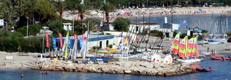
About La Salis
Source Information
As part of the Watermen Testers program, Surfrider Foundation Europe volunteers monitor recreational marine and freshwater quality at several sites in the region Nouvelle-Aquitaine. The sampling season goes throughout the year, on an irregular basis depending on availability of volunteers. That is why the monitoring frequency selected is "Other" for all the beaches in the region. Priority is given to places where Watermen Testers suspect a pollution. Before (from 2014 to 2017), samples were collected bi-monthly. According to the European Directive 2006/7/CE, water quality is based on 2 bacteriological parameters: E. coli and enterococcus. Threshold between average and poor water quality : Freshwater : Enterococcus 660 CFU/100mL E. coli : 1800 CFU/100mL Marine water: Enteroccocus : 370 CFU/100mL E. coli: 1000 CFU/100mL A beach is marked green if the two results (Enterococcus and E. coli) are under European thresholds. A beach is marked red if one of the two or the two results is/are above the European threshold. A beach is marked grey when there are no current results or there is no available information. Special status beaches: Due to the high frequentation of beaches during the summer and the occurrence of storms, leading to wastewater treatment plant overflows, some beaches are exposed to short term pollutions.
Beaches Near This One
SEE All