Historical Water Quality
See Source Info tab to understand what these results mean
Passed water quality tests at least 95% of the time
This status is based on the latest sample, taken on June 30th, 2026 Rogue Riverkeeper updates the status of this beach as soon as test results become available. These results were posted to Swim Guide on July 1st, 2026 at 22:17.
Illinois River, West Fork at Forks State Park is sampled Bi-Weekly from July 16th to September 6th.
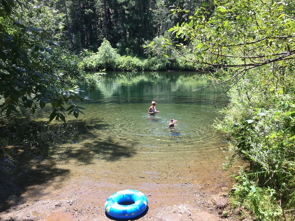
About Illinois River, West Fork at Forks State Park
Current Weather
Source Information
Information on collection and analysis of water samples are indicated on each of the Swim Guide pages. Many samples in the Rogue basin are collected by Rogue Riverkeeper volunteers and a seasonal field technician analyzes them in our lab which meets the OR Dept. of Environmental Quality data standards. Monitoring program partners choose to share their data so that Rogue Riverkeeper can publish the results on Swim Guide so you will know when it is safe (or unsafe) to swim! Oregon state criteria for whether a water sample meets the water quality standard for contact is an E. coli result of 406 MPN/100mL per sample or less. Water samples are collected, then sealed and incubated over a 24-hour period at 35+/- degrees Celsius. The results are considered valid for 7 days. Results based on the Oregon water quality criteria of 406 MPN/100mL are organized as follows: GREEN = a single sample is below the Oregon water quality criteria for water contact RED = a single sample exceeds the Oregon water quality criteria.. People and pets should not be recreating in sites labeled red as bacteria levels are considered unsafe for human contact. GREY = a site with no current data available. Always use your best judgement when recreating in or near waterways. Pay attention to odd smells, colors, water quality, etc and report anything that looks out of the ordinary. Be safe, have fun, and thank you for protecting the Rogue!
Beaches Near This One
SEE All