Historical Water Quality
See Source Info tab to understand what these results mean
Passed water quality tests at least 95% of the time
This status is based on the latest sample, taken on June 1st, 2026 North Saskatchewan Riverkeeper updates the status of this beach as soon as test results become available. These results were posted to Swim Guide on June 17th, 2026 at 13:01.
Caddy Lake Beach is sampled Other from May 1st to September 1st.
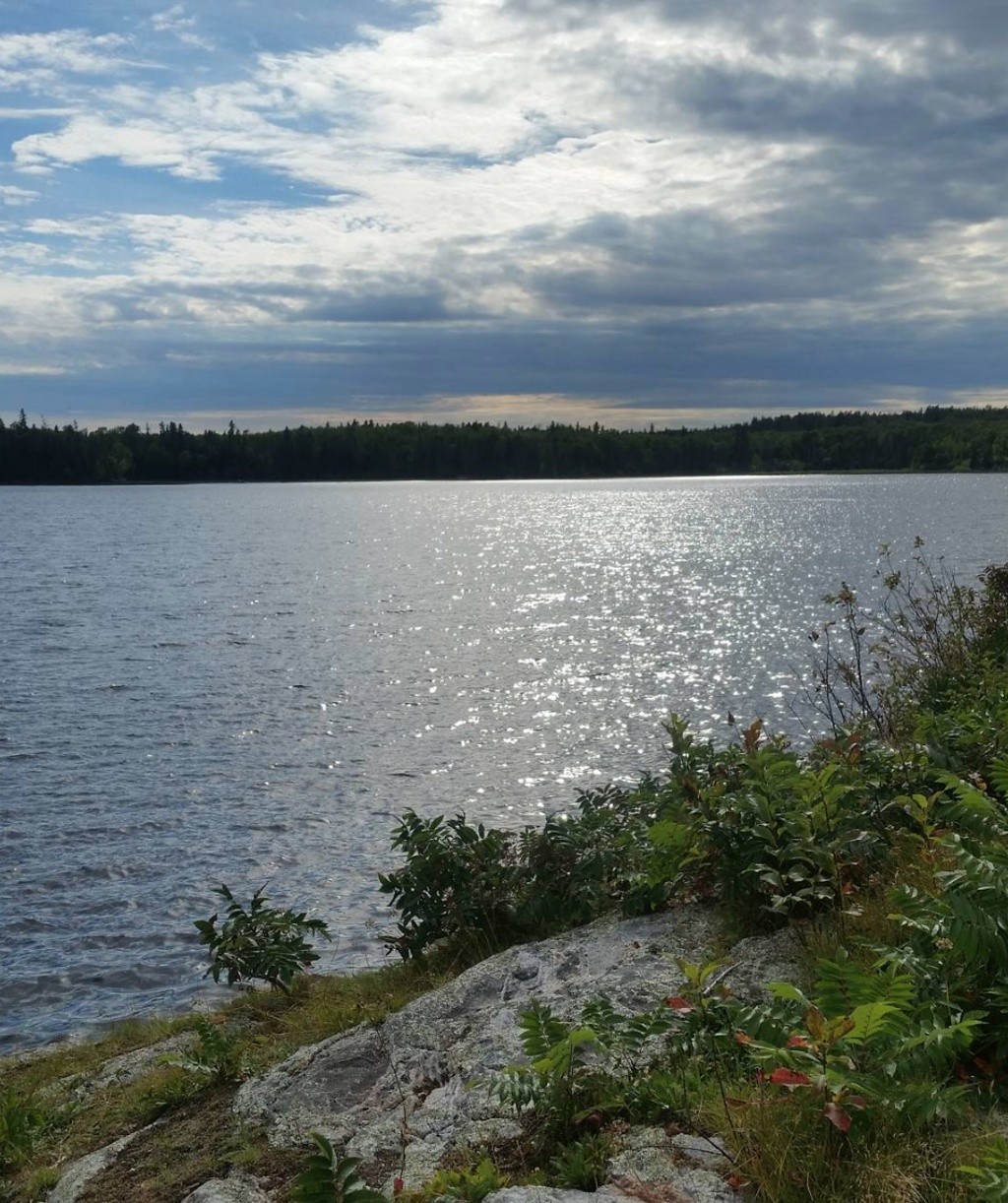
About Caddy Lake Beach
Current Weather
Source Information
Sites in Manitoba are monitored by the Province of Manitoba, Agriculture and Resource Development in cooperation with Manitoba Health. Visit Manitoba.ca/beaches for the most up-to-date information about Manitoba beach water quality. Report algal blooms in Manitoba at forms.gov.mb.ca/algal_report/index.html. If the geometric mean of E. coli samples exceeds Manitoba’s recreational water quality objective of 200 bacteria/100 mL and/or when a single sample contains more than 400 bacteria/100 mL the beach is re-sampled. A beach is marked Green when the geometric mean of E. coli samples is below Manitoba’s recreational water quality objective of 200 bacteria/100 mL. A beach is marked Red when the geometric mean of E. coli samples is above Manitoba’s recreational water quality objective of 200 bacteria/100 mL. A beach is marked Grey when reliable or up-to-date information is not available.
Beaches Near This One
SEE All