Current Water Quality
See Source Info tab to understand what these results mean
Failed to meet water quality standards
This status is based on the latest sample, taken on July 22nd, 2026 Potomac Riverkeeper updates the status of this beach as soon as test results become available. These results were posted to Swim Guide on July 23rd, 2026 at 12:51.
Rock Creek - P Street Beach is sampled Weekly from April 1st to November 30th.
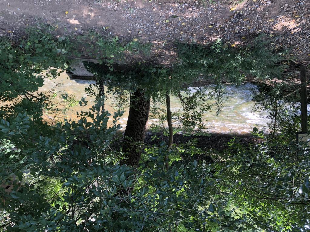
About Rock Creek - P Street Beach
Current Weather
Source Information
Funded by the District Department of Energy and Environment (DOEE) (Grant# RFA 2018-1805-WQD-VWQM), Anacostia Riverkeepers run a citizen science water quality monitoring program in partnership with Alliance for the Chesapeake Bay, Audubon Naturalist Society, and Rock Creek Conservancy. Testing occurs weekly at 8 sites (from May through September) along the Rock Creek for bacteria, water temperature, air temperature, pH, and turbidity. The goal of this volunteer monitoring program is to provide valuable and accessible water quality data for residents and visitors, so they can make informed decisions before recreating.
Beaches Near This One
SEE All