Current Water Quality
Meets water quality standards
This status is based on the latest sample, taken on May 20th, 2026 Potomac Riverkeeper updates the status of this beach as soon as test results become available. These results were posted to Swim Guide on May 21st, 2026 at 12:44.
Potomac River - Oronoco Bay Park is sampled Weekly from May 1st to October 7th.
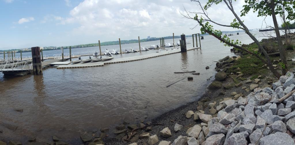
About Potomac River - Oronoco Bay Park
Current Weather
Source Information
A “green” rating demonstrates that the level of E. coli or Enterococcus at the time of sampling falls beneath the Virginia Department of Environmental Quality primary contact water quality safety standards as well as the DC and MD Primary Contact Water Quality Standards These Primary Contact Water Quality Standards are as follows: • E. coli single sample value = 410 MPN/100mL • E. coli geometric mean = 126 MPN/100mL Samples are rated “green” if they fall below these values. Samples over the standard are considered "red" due to their failure to meet criteria, and the increased risk of illness. In brackish waters, Enterococcus is the Fecal Indicator Bacteria used. Enterococcus single sample value = 130 MPN/100 mL Enterococcus geometric mean = 35 MPN/ 100mL For the first 5 consecutive weeks, single sample values will be compared against the single sample standard of 410 MPN for E.coli and 130 MPN for Enterococcus. After 5 consecutive weeks, the geometric mean will be calculated and compared to the 126 MPN value for E.coli and 35 MPN value for Enterococcus to determine a pass or fail status. The geometric mean data is not reported on Swim Guide but used for reference and research in the PRKN records. Potomac sites that are under DC jurisdiction are rated against these values. A red "special status" update indicates an abnormal situation such as a severe weather event, construction activity, or a combined sewage overflow (CSO) in the past 48 hours. This status means it is extremely likely there are unsafe levels of bacteria in the river, and it is recommended to be extra cautious if you are close to the river or come in contact with the water. A grey "special status" can also mean that there was no data collected that week due to high flow rates, park closures, or inaccessibility of the collection site. Potomac Riverkeeper Network staff, interns, and volunteers monitor water quality at several locations along the Potomac River in partnership with Alliance for the Chesapeake Bay and other non-profit organizations. The monitoring effort in Virginia and Maryland waters is generously supported by the Virginia Environmental Endowment, National Harbor Marina, Peterson Companies, SP Marine Management, and Hunting Creek Garden Club. Monitoring in District of Columbia waters is supported by the DC Department of Energy and Environment through grant #RFA 2018-1805-WQD-VWQM Project #1 to Anacostia Riverkeeper. Monitoring occurs every week from May through September. Parameters to be monitored include E.coli /Enterococcus, total coliform, pH, temperature, and turbidity. Detailed monitoring results can be found through the Chesapeake Monitoring Cooperative's Data Explorer, https://cmc.vims.edu/#/home One parameter of concern is E. coli, a fecal coliform. E. coli is measured in terms of the Most Probable Number /100 ml water and are indicators of fecal contamination by warm-blooded animals including birds and mammals. Sampling sites along the Potomac fall within several jurisdictions and monitoring programs. Each jurisdiction has defined their own water quality standards and each program uses its own method for determining a pass or fail site status. Another parameters of concern found in fresh and marine water are E. faecium and E. faecalis. These enterococci are found in the intestines of nearly every animal on earth and can cause serious clinical infections. We encourage users to explore the sample data in addition to checking the swim guide status. These data can be viewed through the Chesapeake Monitoring Collaborative Data Explorer, https://cmc.vims.edu/#/home
Beaches Near This One
SEE All